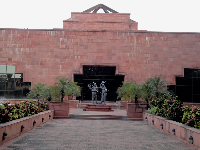
Anand Travel and Tourism Guide
Anand city is a part of the locality called as Charotar, which consists of Anand & Kheda districts. After the British rule ended on 15/8/1947 and India attained independence, the government formed in the immediate aftermath culminated the royal states into the state of Bombay. Kheda district was created on 1/8/1949. Later, several changes were made in the hamlets of some talukas and villages were reassigned as various talukas of the district from 15/10/1950. The district of Kheda is identified with Khambhat, Petalad, Borsad, Anand, Nadiad, Matar, Mahemdavad, Kapadvanj, Thasara and Balashinor talukas. The concerned government has created six new districts from 1/10/97. Anand was recognized as another district that was formed out of Kheda. Charotar area spreads across the banks of river Mahi near Vasad and has got it boundaries adjoined with the bank of river Vatrak at Mahemdabad. This region is famously known as Charotar, which is known for its fertility and greenery.
Anand is also commonly known as Charotar (which means ‘a pot full of gold coins’ in Gujarati). Few of the villages of Borsad, Petalad and Anand talukas are routed back to this region. Regarded as "Golden Leaf", this region of Charotar has the maximum production of tobacco in Gujarat
Anand is widely regarded for the milk revolution that has led to the formation of AMUL (Anand Milk Union Limited). Also, the formation of dairy cooperative societies has begun from this city. It is also known for the existence of Anand Agricultural University from which a lot of students complete courses in the fields of animal husbandry as well as dairy science.


