

Gujarat Travel and Tourism Guide
Gujarat, one of the most industrialized states in India is situated on the west coast of India between 20o-6' N to 24o-42' N north latitude and 68o-10'E to 74o-28'E east longitude. It came into existence as a separate State on 1st May 1960. Gujarat is bounded by the Arabian Sea in the West, by the States of Rajasthan in the North and Northeast, by Madhya Pradesh in the East and by Maharashtra in the South and South East.
The State has an international border and has a common frontier with the Pakistan at the northwestern fringe. Ganghinagar, located near Ahmedabad is its capital. At present, Gujarat comprises of 25 districts. The official and primary language spoken is Gujarati. The state of Gujarat occupies the northern extremity of the western sea-board of India.
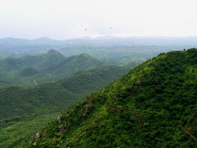
It has the longest coast line 1290km among Indian states. The state comprises three geographical regions. The peninsula, traditionally known as Saurashtra. It is essentially a hilly tract sprinkled with low mountains.
Kutch on the north-east is barren and rocky and contains the famous Rann (desert) of Kutch, the big Rann in the north and the little Rann in the east. The mainland extending from the Rann of Kutch and the Aravalli Hills to the river Damanganga is on the whole a level plain of alluvial soil.
60439692